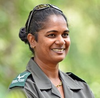
 Navashni Govender is Senior Manager, Conservation Management, at the iconic Kruger National Park, in South Africa. Involved with the Southern Africa Fire Network (SAFNET) since its early days, and now a member of the network’s Steering Committee, she shared her insights on the network’s broader impact.
What have been the major impacts of SAFNET in the region, in your view?
I have been participating in SAFNET’s activities since 2002. Initially the group came together around a remote sensing burnt area validation project in Southern Africa that brought in experts from the United States. The project introduced cutting edge tools and technologies to the region, including the tools based on MODIS and Landsat information.
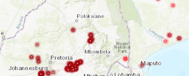
Currently we are using MODIS information at Kruger National Park to map our fires. Without SAFNET and the introduction to MODIS, the park would be using a very different methodology, which would not be as effective. MODIS suits our requirements for cost effectiveness as well as spatial and temporal resolution.
Many SAFNET members have also participated in GOFC-GOLD mapping and GIS trainings. All the knowledge and resources gained during trainings and network meetings is brought back to each of their institutions and work environments, creating a positive impact all across the region.
What is the role of fire in Kruger National Park?
Fire is a very important driver of land-use change, biodiversity, and socio-economics in Southern Africa, and it is very often seen as a contributor to carbon emissions. However, in the region, including in Kruger National Park, fire must be recognized as an important resource and management tool needed to maintain the tree-grass balance of Savanna ecosystems. We map and monitor our fires through remote sensing, using tools developed in collaboration with the University of Maryland, thanks to the GOFC-GOLD program.
What are the main benefits of being a SAFNET member?
In my day-to-day work, being a member of SAFNET is a precious opportunity to connect with expertsfrom the region and around the world, working in other fields – not only fire, but also land use – and other types of institutions, including the government, ministries, and organizations.
The SAFNET network is well established, with active connections and, since 2008, a Steering Committee to drive its activities. The support we receive from START to bring together the network’s members every two years is crucial to ensure that we keep connected and up-to-date with latest science and technologies.
In 2018, we hosted a field validation course in Kruger National Park, and we used this opportunity to also organize a training and field data collection course to support satellite validation of fire detections and mapping. Researchers from within and outside the region were very excited to learn and share about satellite fire data validation in Kruger, a site where we can burn and monitor large areas thereby providing an ideal study field.


