As part of the Global Observation of Forest Cover and Land Dynamics (GOFC-GOLD) Program START organized with partners a workshop to explore how remote sensing can support agricultural production and improve food security in South and Southeast Asia.
South/Southeast Asian countries are growing rapidly in terms of population, industrialization, and urbanization. As a result of this growth, one of the key policy challenges facing the region is food security. Although total food production has increased in the region since 1960 due to land area having been converted to agricultural use, more recently it has decreased, mostly due to loss of productive agricultural land due to urbanization and industrial development. Furthermore, the region is experiencing variability in the timing of the monsoon and extreme weather events, resulting in drought or flooding, which impact agricultural production. Monitoring crop production in a timely manner is essential to predict and prepare for disruptions in the food supply. To achieve such timely monitoring requires improved and up-to-date information on agricultural land-use practices.
In South/Southeast Asia generally, most mapping efforts to date have focused on the broader classification of land cover types and generalized cropland areas into a single or limited number of thematic classes. Only a few countries have access to up-to-date crop type information. There is an urgent need to make this near-real-time information more readily available to stakeholders and to enhance national and regional operational systems for monitoring agricultural crops.
To address these issues and the potential and limitations of different remote sensing data and methods for agricultural applications, an international workshop, entitled Operational Mapping/Monitoring of Agricultural Crops in South/Southeast Asian Countries–Research Needs and Priorities, took place May 2-4, 2016, at the Guru Gobind Singh (GGS) Indraprastha University in New Delhi, India.
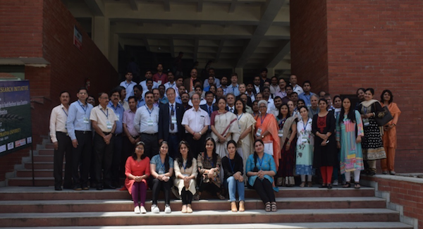
Attended by 95 participants the workshop was organized into four sessions:
- Global/regional programs in agriculture;
- Computational tools and decision-support systems for agricultural research;
- Biophysical parameter retrievals, crop type, area and yield mapping and monitoring; and
- Regional land and agriculture mapping and monitoring activities.
In addition, two discussion sessions were organized, entitled “User Community Needs on Food Security and Agriculture in South/Southeast Asia” and “Satellite Based Agricultural Research Needs and Next Steps in South/Southeast Asia”.
The workshop presentations focused on synergies among various approaches and provided recommendations on how to improve the role of Earth observations, ground-based (in situ) data, and modeling techniques to map and monitor different crops in space and over time. The workshop brought together experts from both developed and developing countries to identify data gaps and needs related to operational mapping and monitoring of cropped areas in the SARI region. In addition to the presentations, the discussion sessions highlighted the needs and priorities of agricultural research in the region. Panel members identified a variety of user groups—from individual farmers to government ministries—that need to be targeted, and also identified several potential user groups. The panel agreed that the most important “use case” is to reduce risk in agriculture. Other potential use cases included providing forecasts to aid farmer decision making and to facilitate advanced planning (e.g., providing customized weather information or helping with irrigation scheduling); identifying management zones and targeting these with appropriate solutions (e.g., crop suitability maps, infrastructure development plans); and informing crop insurance programs. The group also recommended that those undertaking operational research and development should work closely with local intermediaries (like agricultural advisors and consultants) who can produce useful recommendations from satellite-derived data products.
Representatives from the South (SARIN) and Southeast Asia (SEARRIN) networs of the Global Observation of Forest Cover and Land Dynamics (GOFC-GOLD) Program attended this event.


