Satellite images and remote sensing data provide critical information on the dynamics between forest cover, land-use change and climate change. Although these data are readily available in northern countries, access remains a challenge for scientists in the south.
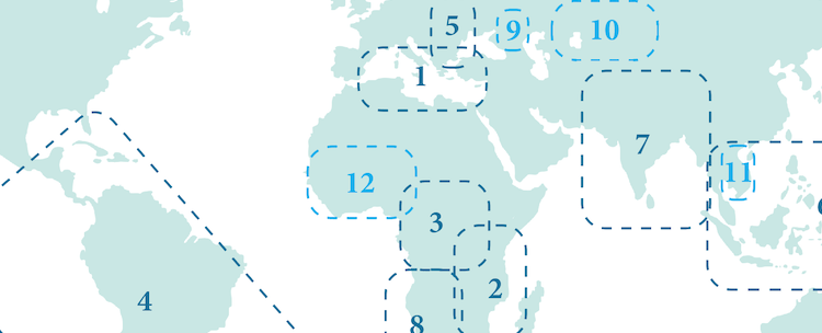
The Global Observations of Forest Cover and Land-use Dynamics (GOFC–GOLD) program addresses this critical need, by broadening access to existing data, increasing scientists’ capacity to produce and analyze new data, and fostering regional and international networks of scientists.
The GOFC-GOLD networks of data providers, brokers and users provide a strong voice for regional needs and foster lateral transfer of technology and methods within and between regions. They also play an important capacity development role for early- and mid-career researchers in the regions.
Read below quotes from GOFC-GOLD regional networks members, who shared their perspectives and insights on the connections fostered by the networks.